2006-2008
Taupo District, New Zealand
Taupo District Council
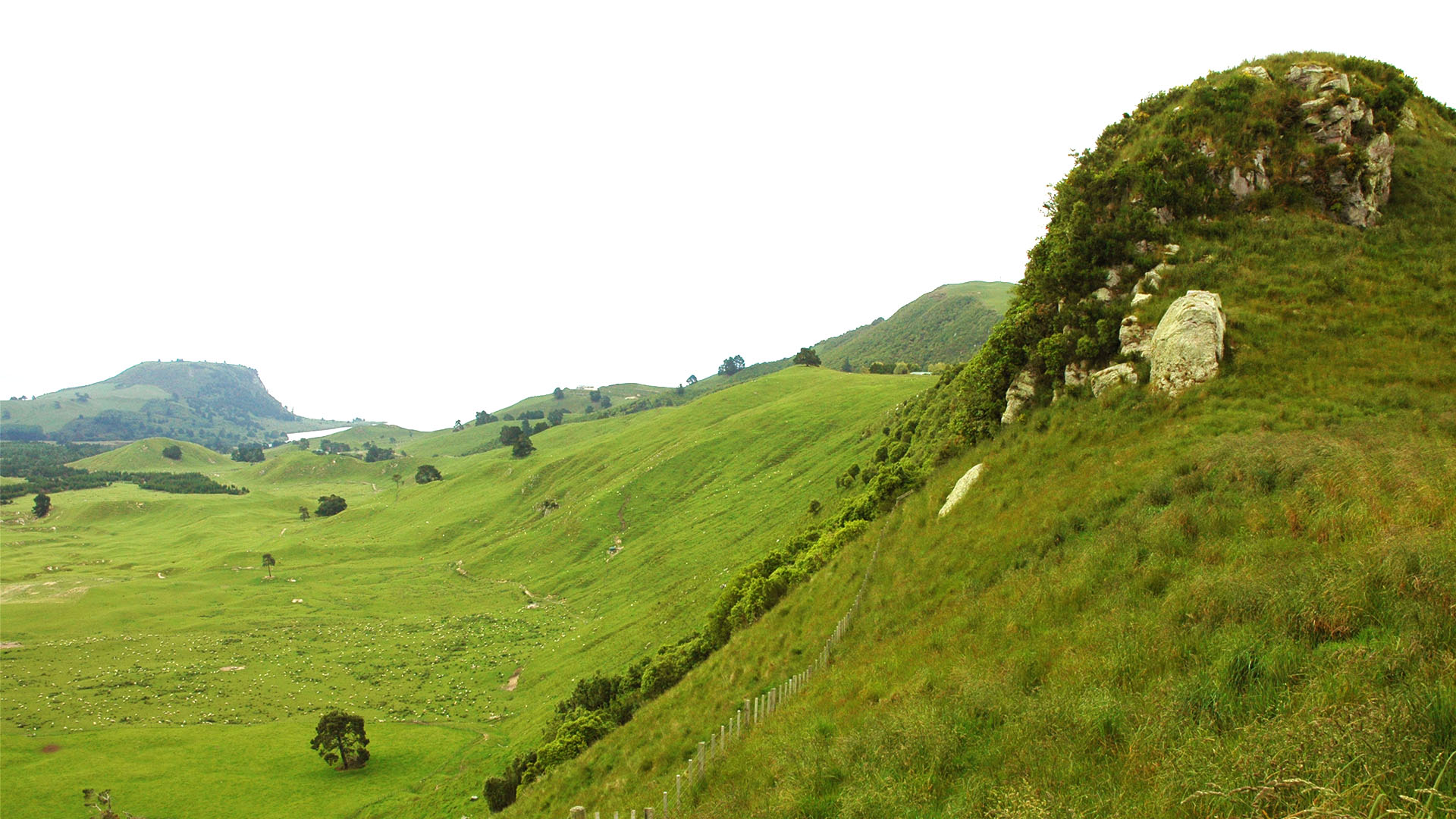
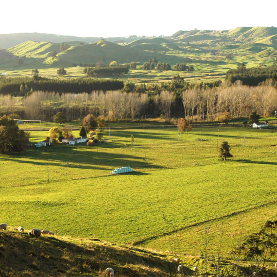
The MVSP started out as a disaster and ended up a triumph. Taupo District Council had put a big red blob in the centre of the valley as part of their 50 year growth plan. Although superficially logical, the valley is a special place and everyone – the local community, the Environmental Defence Society (who promised to take it all the way through the courts), us – we all said it was wrong.
Read More
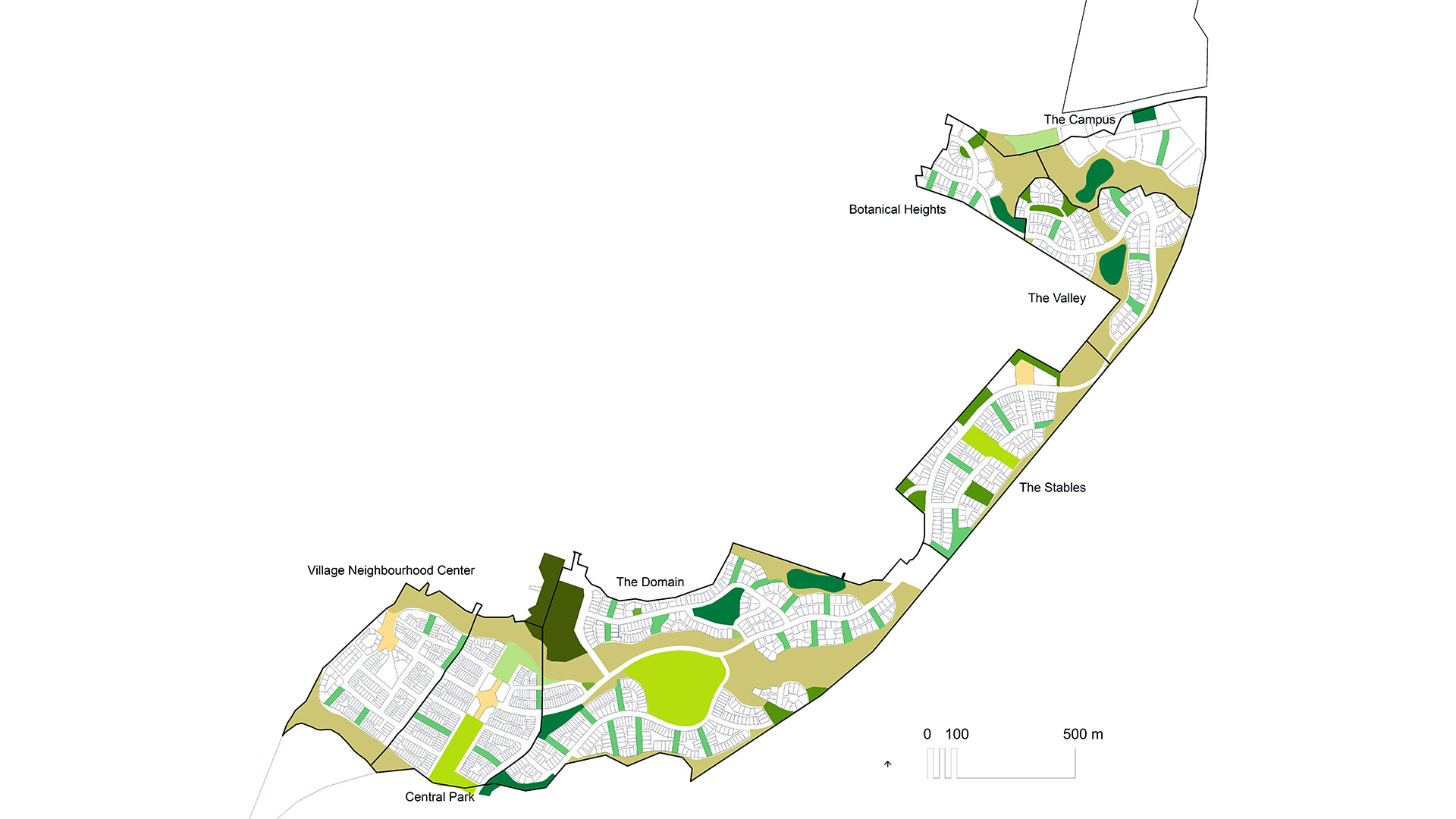
However, the Council had already started their process and a Structure Plan was underway. We were asked to help them, to consider as a ‘theoretical exercise’ that if development were to proceed in the valley, how would that best be done; what would it look like? So that’s what we did, and the result surprised us all.
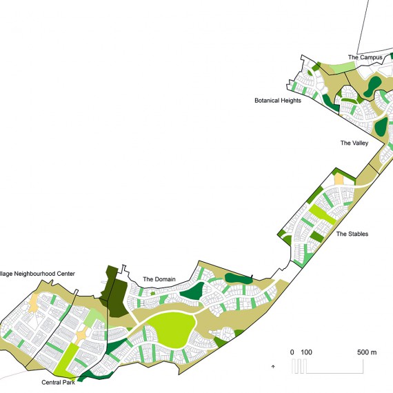
We approached the problem as though it had never been considered before, and whether by luck or brilliance started our enquiry at what we now know to be the critically correct point. We were aiming for definitive answers to the questions of first, the ability of the landscape to absorb change and then from that, the ability of the landscape to absorb development. What we ended up with was a sort of a tool – a methodology, a way of seeing and analysing the landscape and a generator of response frameworks precise enough that clear and simple planning rules could be wrapped around them and effects determined from real world application.
The characteristics of the tool were astounding:
• It’s very simple and the results are very understandable – anyone can use it; you don’t need to be a skilled professional
• It’s almost infinitely scalable (at least, between 1mm and the whole planet)
• It’s practical ie it leads to concrete, doable outcomes
• The results meet with almost universal approval (at least, they did and have done whenever it’s been used since)
The outcome for Taupo was an extremely short and smooth consent process for the MVSP with the full backing of the Mapara Valley Protection Society and all the other ‘objectors’. ESD, from being intractably opposed, publically announced that not only did they think it represented the best possible outcome for the valley and the best way of protecting it, but that it presented a methodology that should be used in every instance of greenfields development.
The tool/methodology has since been presented overseas and we’re currently extending it with a group of international researchers in order to be able to measure the adaptive capacity of a particular environment.
- Landscape Assessment
- Land Use Assessment
- Urban Design
- Design Direction
- Strategic Planning
- Stakeholder Engagement
- Community Consultation
Value of Project:
NZ$ n/a
Value of Consultancy Services:
NZ$120,000
Added Value:
- Maximized land use outcomes for local Council and community
- Distributed network design
- Significant budget savings – no prolonged and expensive court action
- Much cheaper and faster consenting for the Council of initially very contentious structure plan
- Open and transparent design approach with high levels of community consultation and subsequent support
- Development of landscape capacity methodology
- Application of landscape drivers to urban design framework and typologies
- Innovative approach using urban development to strengthen and protect landscape and environmental qualities
- Managed and measured rollout of new infrastructure
- Demonstrated value-uplift to surrounding environments


